| ▲ | Airloom – 3D Flight Tracker(objectiveunclear.com) |
| 93 points by azinman2 5 hours ago | 28 comments |
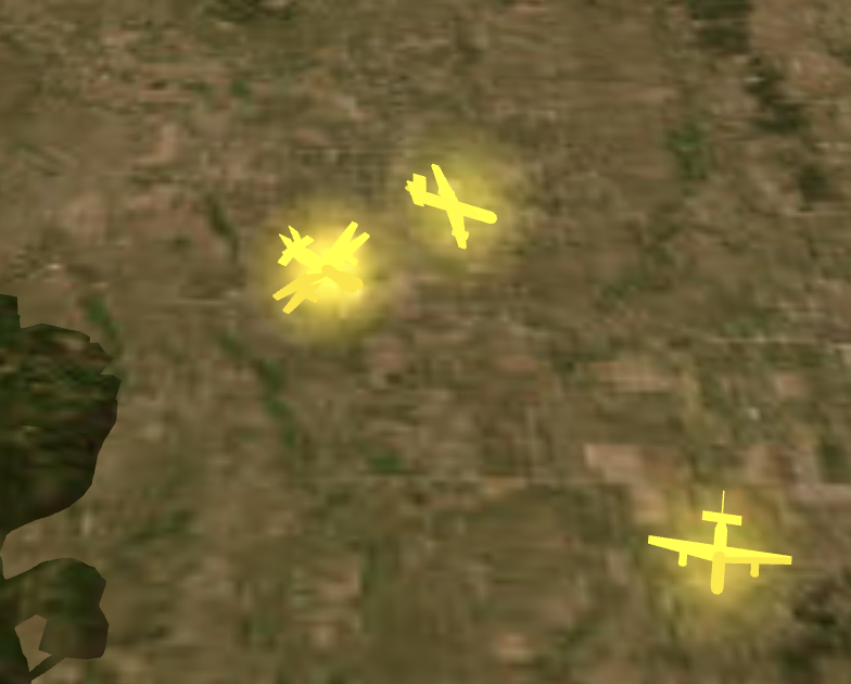
| |
|
| ▲ | benlimner an hour ago | parent | next [-] |
| Note from the developer: I’m so glad that many of you like this app. I’m a solo dev, actively building between my 9-5 and raising a 9mo. Please follow along on X https://x.com/benlimner, or join the mailing list for updates/suggestions! |
|
| ▲ | tpoindex 16 minutes ago | parent | prev | next [-] |
| Really nice! Absolutely killer would be integrating with https://www.liveatc.net/ or other live ATC stream would be absolutely killer. Drop down to choose ground, tower, approach/departure, center, etc. I'll start in another tab for now. |
| |
| ▲ | benlimner 12 minutes ago | parent [-] | | Completely agree. I think the concept has legs enough to actually start paying for some of these more expensive data providers. |
|
|
| ▲ | schappim 25 minutes ago | parent | prev | next [-] |
| Planes flying w/ multiple transponders [1]? [1] https://files.littlebird.com.au/Screenshot-2025-11-29-at-8.2... |
| |
| ▲ | benlimner 23 minutes ago | parent [-] | | They’re likely planes that are on the ground with transponders on. You can toggle off the “show planes on ground” to hide the mess. |
|
|
| ▲ | acrophiliac 29 minutes ago | parent | prev | next [-] |
| As an old-timer who learned programming with punched cards, this visualization blows my mind. I want to turn it into my desktop screen saver. |
| |
|
| ▲ | whizzter 5 hours ago | parent | prev | next [-] |
| This is quite cool, seeing taking off planes appearing and rising is cool. Some comments:
- Is the Up axis correctly scaled? The ascent rate of planes taking off seems very steep
- Planes landing seems to get "stuck" at the beginning of a lane at about 600 feet (tracking/radar cutoff?), maybe a fix the that slightly adjusts it to ground in a landed state if a plane "stops" or disappears from the data tracking. |
| |
| ▲ | kyusan0 2 hours ago | parent [-] | | Down at the bottom of the menu there's an altitude scale slider. It defaults to 1.2, changing it to 1.0 makes the trails look better. | | |
| ▲ | nja an hour ago | parent [-] | | It's amusing that changing the altitude scale doesn't reset the "trails" -- when I dragged it around quickly (on mobile) it left vertical streaks behind all the in-flight planes | | |
|
|
|
| ▲ | toomuchtodo an hour ago | parent | prev | next [-] |
| I love this, and would pay for native or electron app on Mac. Like Google Earth for global airspace. |
| |
|
| ▲ | vibrio 2 hours ago | parent | prev | next [-] |
| As a bit of a Flight Aware addict, well done. |
| |
| ▲ | benlimner 41 minutes ago | parent [-] | | Curious, what would make you default to this tool over FA? | | |
| ▲ | leptons 31 minutes ago | parent [-] | | I use Flightaware for detailed information about specific flights. They have tons of information about the history of the flight, past delays, etc. I use it to track specific incoming flights when I have to pick up someone from the airport. I keep an eye on it when I'm waiting to fly, and I also use it to see progress of the flight while I'm in the air if the airline doesn't provide that in a seat-back screen. While your site is pretty cool, it's more of a neat thing to look at than it is a useful tool like Flightaware. That said, I bookmarked it and will visit it often (probably) as I live near an airport and can see planes in the distance. Also, I second the request for higher-resolution map tiles. | | |
|
|
|
| ▲ | xgulfie 2 hours ago | parent | prev | next [-] |
| Wow, great idea well executed, congrats |
| |
|
| ▲ | TeeWEE 3 hours ago | parent | prev | next [-] |
| This is amazingly cool |
|
| ▲ | echelon 2 hours ago | parent | prev [-] |
| This is really freaking cool. Two asks - (1) you should default to a busy airport, eg. Atlanta, which is the busiest in the world. They have an order of magnitude more flights landing and departing. It seems random, but I keep getting New Orleans which is 10-20x less busy than Atlanta. ATL, SFO, LAX, ... That said, the topographically diverse places like Anchorage are nice too, and the height maps on the textures are fantastic. (2) Higher resolution satellite titles would be awesome. I have a high density flight path directly overhead and I'd love to see where I live on the map and know which way to look in real time, but the textures are about 10x too grainy to make out my street / neighborhood. Maybe you can download some high resolution tiles for free that won't be a big performance hit? |
| |
| ▲ | benlimner an hour ago | parent | next [-] | | I’m actively looking for a better map tile provider here. You’re getting New Orleans because it’s truly selecting from ~20 random US airports. Stoked that you like the app! | |
| ▲ | hazelnut 2 hours ago | parent | prev [-] | | interesting, seems to be random. I've gotten Portland which was also not too busy but nevertheless enough to understand the beauty of it. | | |
| ▲ | benlimner 42 minutes ago | parent | next [-] | | It’s a random assortment of ~20 US cities. I’m happy to add another one into the mix if you’d like. If there’s an airport you want to default to, search for it and save the URL | |
| ▲ | echelon an hour ago | parent | prev [-] | | This thing is dangerous. It's going to nerd snipe me into a new hobby. https://imgur.com/a/264P9Q4 It looks completely accurate. I could see the medivac helicopters taking off, and it matched 1:1. I missed a biplane flying over the city. And some other low-flying planes circling mysteriously. If I had a telephoto lens and a way to alert myself of large planes flying low (happens frequently), C-130s, F-22s, etc. I think I'd waste way too much time. I need to avoid looking into this more. | | |
| ▲ | benlimner an hour ago | parent [-] | | No, lean in! Haha I’m looking into adding better data providers so there are fewer missing planes. |
|
|
|